
 WOLF CREEK FLOODPLAIN
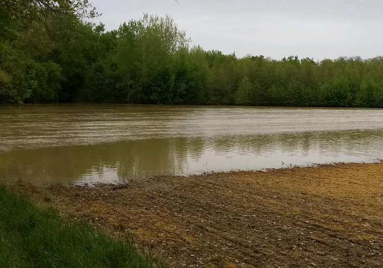
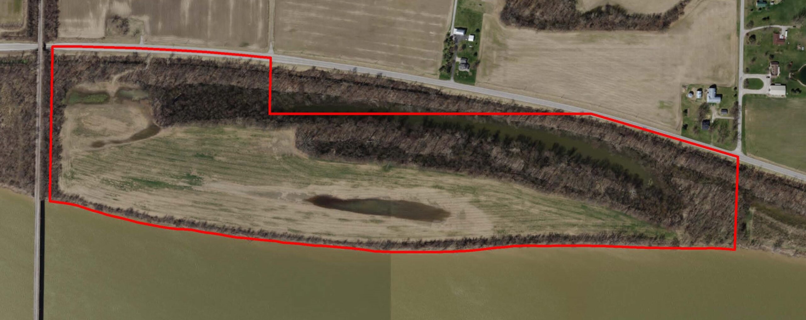
The property is 162 acres along Wolf Creek, a tributary of Sandusky Scenic River. One-third of the property features streamside forest that includes freshwater forested/shrub wetlands, the other two-thirds will be restored to natural habitat.
The site has great potential for wetland and floodplain restoration, and we are excited to begin engineering and design work.
We are working on this project in partnership with our friends at the Seneca County Park District, and the area will eventually become a public park.
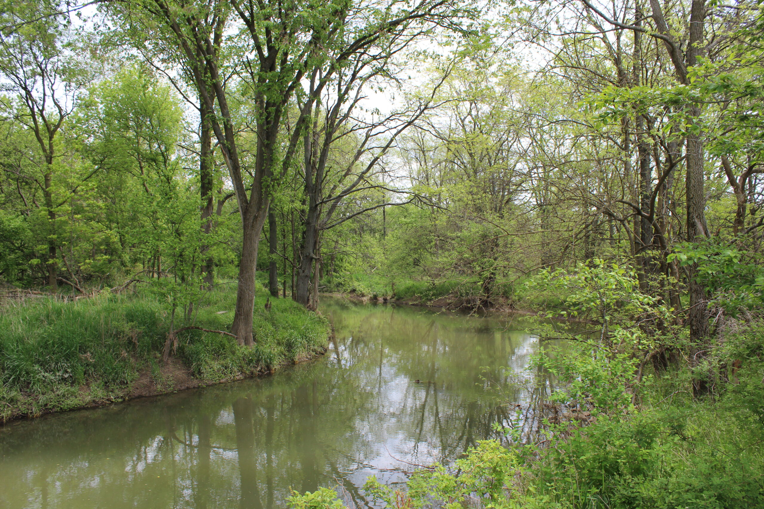
THE WEISGERBER-POHLMANN NATURE PRESERVE
The eight children of Mary and Neil Pohlmann agreed that their parents would have wanted this property on the Tiffin River to be preserved and protected. A daughter, Ann Pohlmann said, “Creating the preserve is very much a tribute to how they lived their lives — connected to both their love of family and each other, and their love and stewardship for all they felt connected to in their time on earth. We sincerely hope those 75 acres return some of the wilds back to our northwest Ohio area, in loving memory, and with benefit to all.”
The land had been in the family for generations, some of it long ago enrolled in USDA’s Conservation Reserve Program and planted with native trees. A small area of the land was farmed by an uncle, though it frequently flooded. The Conservancy recently purchased the property, and now this area will find new value as functional floodplain and wetlands. Seasonal flooding will now renew the wetlands and support more native plants. This conversion reduces erosion and the subsequent influx of sediment into the Tiffin River, improving streamside habitat and water quality.
Ann said that she and her family gathered butternuts and black walnuts from the woodlot in the fall. Their mother made grape vine wreaths decorated with bittersweet. During the Conservancy’s initial review of the property, we found an existing stable woodland community with very few non-native plants and a wide variety of sedges, which merit further investigation. The property contains nearly a mile of the Tiffin River corridor.
We are grateful to the Weisgerber-Pohlmann family for choosing to work with the Conservancy to protect and enhance their property, and we are honored to name this preserve for the family.
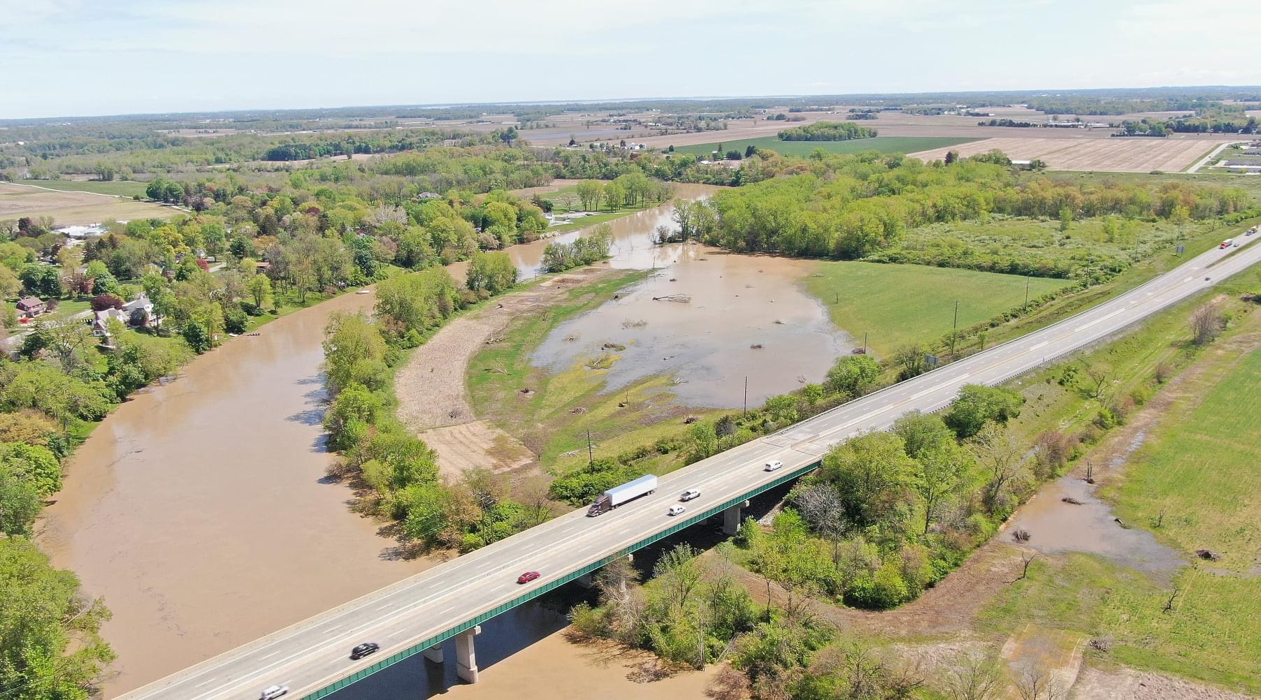
MAUMEE RIVER FLOODPLAIN
This recently purchased property is 57 acres near Napoleon, with more than ¾ mile of Maumee River shoreline. It has significant value due to its location and for historic and recreational reasons.
It is part of a larger corridor of natural lands, located just upstream from the North Turkeyfoot Wildlife Area and within a few miles of the Henry-Wood Sportsmans Alliance Preserve, which we helped establish and permanently protect.
Remnants of the historic Erie Canal are found along the northern portion of the property and include a section of the state-wide Buckeye trail along the old towpath.
Our work here will restore functioning floodplains and wetlands on the property, expanding wildlife habitat and improving water quality.